
如何利用遥感进行环境影响评估?高光谱 高光谱数据 人工智能遥感解译
如何利用遥感进行环境影响评估?
1. 利用航空图像或卫星图像进行植被调查,以确定植被覆盖的变化。
2. 利用热红外成像来探测任何地表温度的变化,这些变化可能表明土地利用或土地覆盖的变化。
3.利用航空摄影或卫星图像来识别土地覆盖的变化,这些变化可能是森林砍伐、城市化和农业扩张等人类活动的标志。
4. 利用高光谱成像技术检测土壤或植被的化学成分变化,这些变化可能是由污染或其他人类活动引起的。
5. 利用雷达成像探测可能表明土地利用或土地覆盖变化的地形变化。
6. 使用激光雷达生成详细的高程模型,以识别土壤侵蚀或沉降的变化。
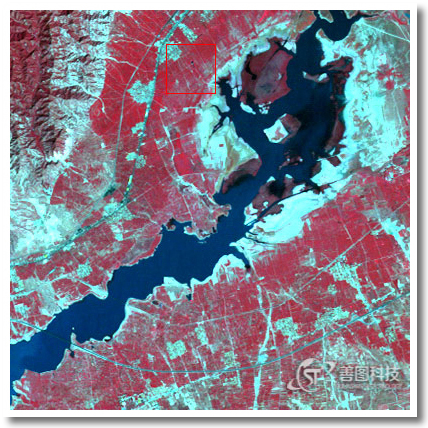
7. 利用航空摄影或卫星图像识别水体和湿地的变化。
8. 利用航空或卫星图像监测空气质量或大气成分的变化。
How to use remote sensing for environmental impact assessment?
1. Conduct a vegetation survey using aerial imagery or satellite imagery to identify changes in vegetation cover.
2. Use thermal infrared imaging to detect any changes in surface temperature that may indicate changes in land use or land cover.
3. Use aerial photography or satellite imagery to identify changes in land cover that may be indicative of human activities such as deforestation, urbanization, and agricultural expansion.
4. Use hyperspectral imaging to detect changes in chemical composition of soils or vegetation that may be caused by pollution or other human activities.
5. Utilize radar imaging to detect changes in terrain that may indicate changes in land use or land cover.
6. Use LiDAR to generate detailed elevation models to identify changes in soil erosion or sedimentation.
7. Identify changes in water bodies and wetlands using aerial photography or satellite imagery.
8. Utilize aerial or satellite imagery to monitor changes in air quality or atmospheric composition.

遥感官方微信
免费咨询:400-805-2218 桂公网安备 45030502000451号