
如何利用遥感进行城市规划?高分七号 资源三号 水污染提取 三维建模
如何利用遥感进行城市规划?
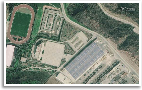
遥感可以多种方式用于城市规划。它可用于绘制和监测城市土地覆盖变化,如新开发、城市蔓延和城市绿地。遥感还可用于分析城市基础设施,如道路、建筑物和桥梁。此外,遥感可用于绘制城市地区的详细地图,为决策和规划提供有价值的信息。
How to use remote sensing for urban planning?
Remote sensing can be used for urban planning in a number of ways. It can be used to map and monitor urban land cover changes, such as new development, urban sprawl, and urban green spaces. Remote sensing can also be used to analyze urban infrastructure, such as roads, buildings, and bridges. In addition, remote sensing can be used to create detailed maps of urban areas, providing valuable information for decision-making and planning.

遥感官方微信
免费咨询:400-805-2218 桂公网安备 45030502000451号